Travel Guide of Ida Valley in New Zealand by Influencers and Travelers
The Ida Valley lies east of the Manuherikia Valley in Central Otago, New Zealand. At an altitude of around 500 m, the 40 km long flat and wide valley is a relatively dry region with cold winters and hot summers, much like the rest of Central Otago.
Pictures and Stories of Ida Valley from Influencers
Picture from Jadon Calvert who have traveled to Ida Valley
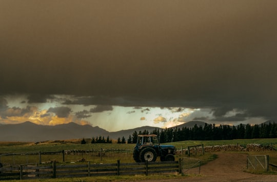
- Farm tractor in New Zealand. ...click to read more
- Experienced by @Jadon Calvert | ©Unsplash
Plan your trip in Ida Valley with AI 🤖 🗺
Roadtrips.ai is a AI powered trip planner that you can use to generate a customized trip itinerary for any destination in New Zealand in just one clickJust write your activities preferences, budget and number of days travelling and our artificial intelligence will do the rest for you
👉 Use the AI Trip Planner
The Best Things to Do and Visit around Ida Valley
Disover the best Instagram Spots around Ida Valley here
1 - Saint Bathans
18 km away
St Bathans, formerly named Dunstan Creek, is a former gold and coal mining town in Central Otago, New Zealand. The settlement was a centre of the Otago Gold Rush, but mining has since long ceased.
Learn more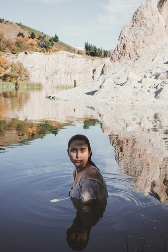
2 - Otago Central Rail Trail
28 km away
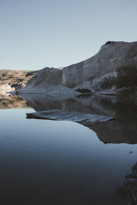
The Otago Central Rail Trail is a 150-kilometre walking, cycling and horse riding track in the South Island of New Zealand. A pioneering project for New Zealand, the successful rail trail joined the New Zealand Cycle Trail umbrella organisation in 2012, having been one of the inspirations for it.
Learn more Book this experience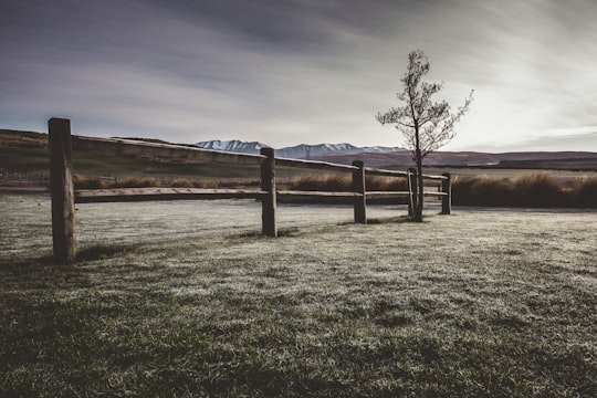
3 - Otago
28 km away
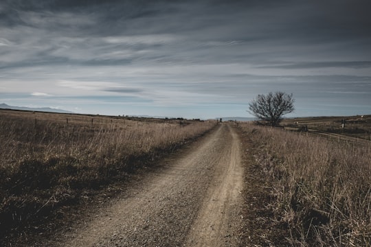
Otago is a region of New Zealand located in the southern half of the South Island administered by the Otago Regional Council. It has an area of approximately 32,000 square kilometres, making it the country's second largest local government region.
Learn more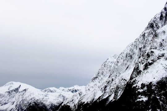
4 - Rock and Pillar Range
45 km away
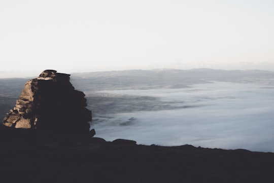
The Rock and Pillar Range of high hills is located in the Maniototo, an area of inland Otago, New Zealand. They are surrounded by the Taieri River, which has its source in the range, flowing out across the scroll plain at Paerau, before almost doubling back on itself at Waipiata and flowing back along the other side through the Strath-Taieri.
Learn more Book this experience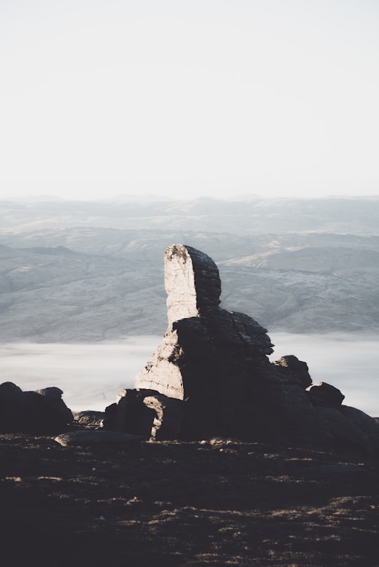
Book Tours and Activities in Ida Valley
Discover the best tours and activities around Ida Valley, New Zealand and book your travel experience today with our booking partners
Where to Stay near Ida Valley
Discover the best hotels around Ida Valley, New Zealand and book your stay today with our booking partner booking.com
More Travel spots to explore around Ida Valley
Click on the pictures to learn more about the places and to get directions
Discover more travel spots to explore around Ida Valley
🌲 Ecoregion spotsTravel map of Ida Valley
Explore popular touristic places around Ida Valley